A Mappy Time in Czechia’s National Museum
/I just returned from the wonderful city of Prague, in Czechia, where I participated in the 31st International Conference on the History of Cartography. It was a great conference; I learned a lot, met new colleagues, reaffirmed existing friends and contacts, and generally enjoyed myself. K came with and enjoyed the city while I was in meetings. We went around some of the city on the days prior to the conference, and encountered a number of mappy things, especially in the National Museum, on which this post focuses.
(I apologize, by the way, for not posting much recently: my work has been focused on working out ideas and has not generated much in the way of byproducts for this blog.)
The National Museum’s exhibits offer something for everyone, from dinosaurs…
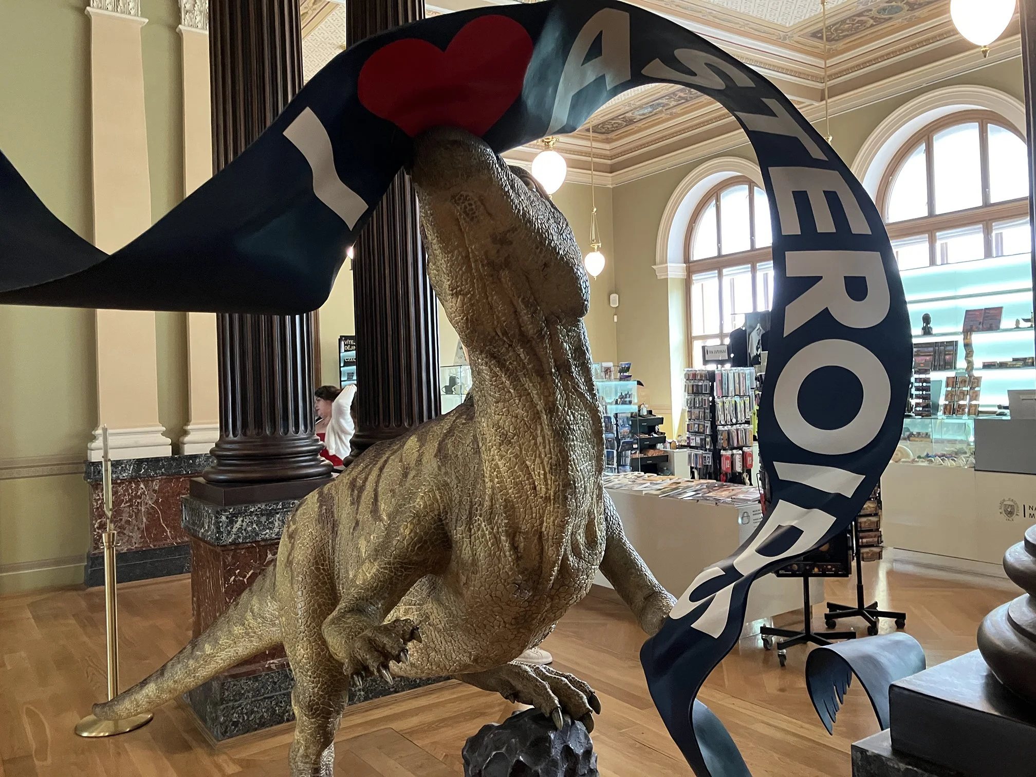
model of a velociraptor (RIP Sam Neil) wrestling with a banner reading “I ❤️ asteroids”
…minerals, evolutionary history, and human prehistory, to a history of Czechia. The history galleries began with the early kingdom of Bohemia, continued with its privileged role in the Austrian Monarchy,
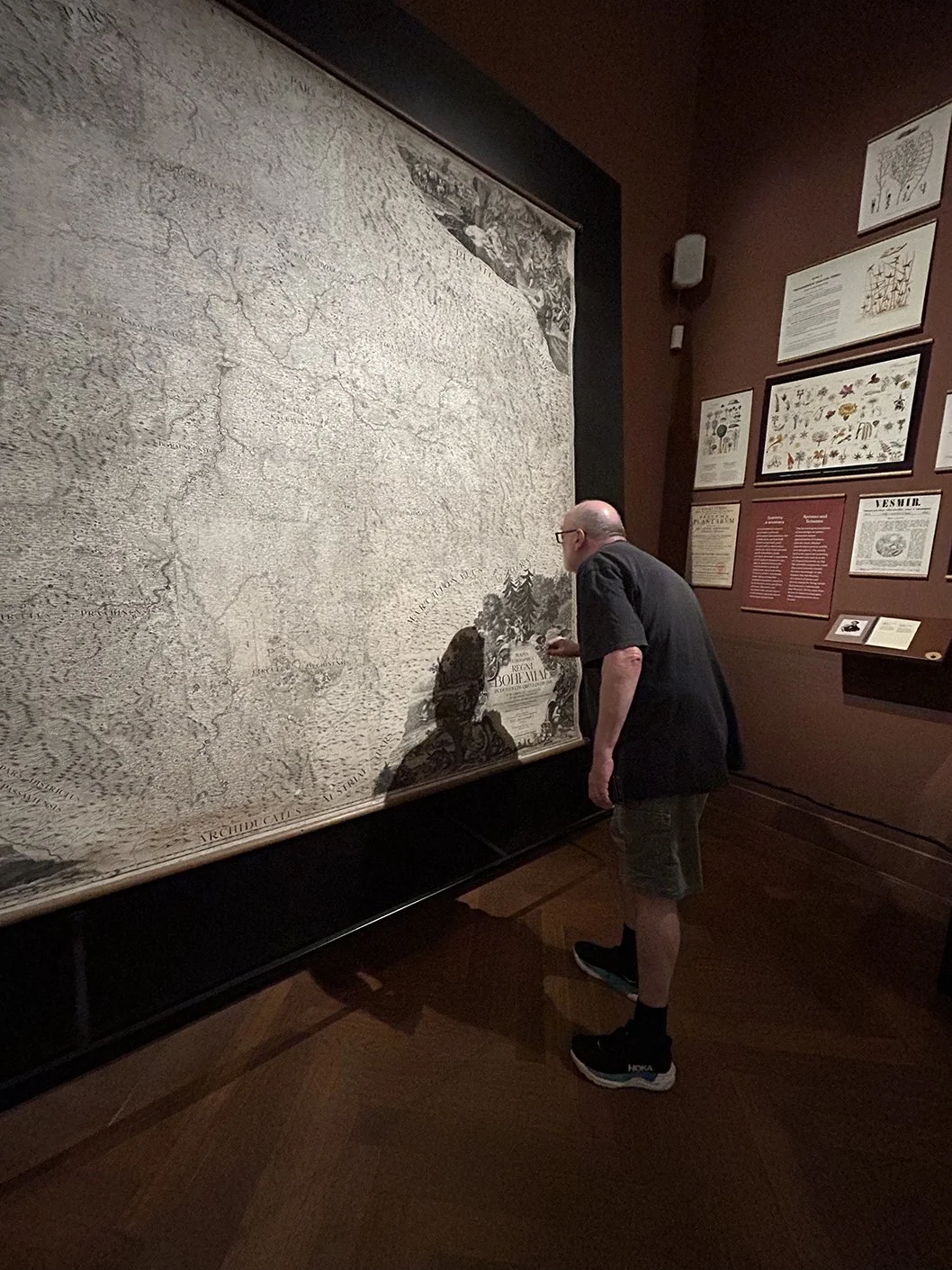
K’s picture of me examining Johann Carl Müller, Mappa geographica regni Bohemiae in duodecim circulos divisæ (Augsburg, 1720), in 36 sheets at 1:132,000
…the emergence of Czech and pan-Slavonic nationalism in the nineteenth century, the formation and development of independent states in the twentieth century, and their vicissitudes under the Nazis and Soviets. (Not too much, to be honest, on Slovakia, which with Czechia formed Czechoslovakia from the demise of the Austro-Hungarian empire in 1918 to its largely amicable division in 1992.)
Much attention was given to key literary figures who shaped national identity before 1914. Czech nationalism was treated carefully and critically, very much as a particular historical formation that had manifestly had a significant role in modern history, and thankfully not as some inevitable divine or cultural/folkish force.
Indeed, the National Museum currently has a special exhibition considering the life and career of František Palacký (1798–1876), an historian known in Czechia as the “Father of the Nation.” As an imagined conversation with Palacký’s ghost culminates,
[curators, “us 2026”] You never disappeared from the national memory and tradition. But the approaches to how you and your work is explained have changed. They have been pored over by generations of historians, while politicians have glossed over some of your ideas and highlighted others, as they saw fit. Hundreds of streets and squares bear your name, monuments have preserved your visage. We commemorate the key dates in your life[;] however, in schools, you and your era number among the least attractive topics.
[Palacký] Well, then I’ve become a “historical deadwood.”
The exhibition gallery is dominated by a large table forming a map of Europe with only political boundaries (as of 1878) and a few cities marked for reference:
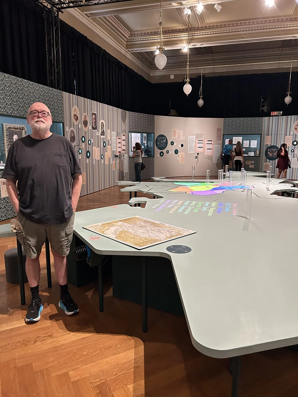
K’s picture of me by the large map table of Europe
This map served several interpretive and interactive purposes. Immediately as I approached it, before I even realized that the table was itself a map, it bore an original impression, and a facsimile that might be handled, of a late nineteenth-century map of the railroads in the Austro-Hungarian empire:
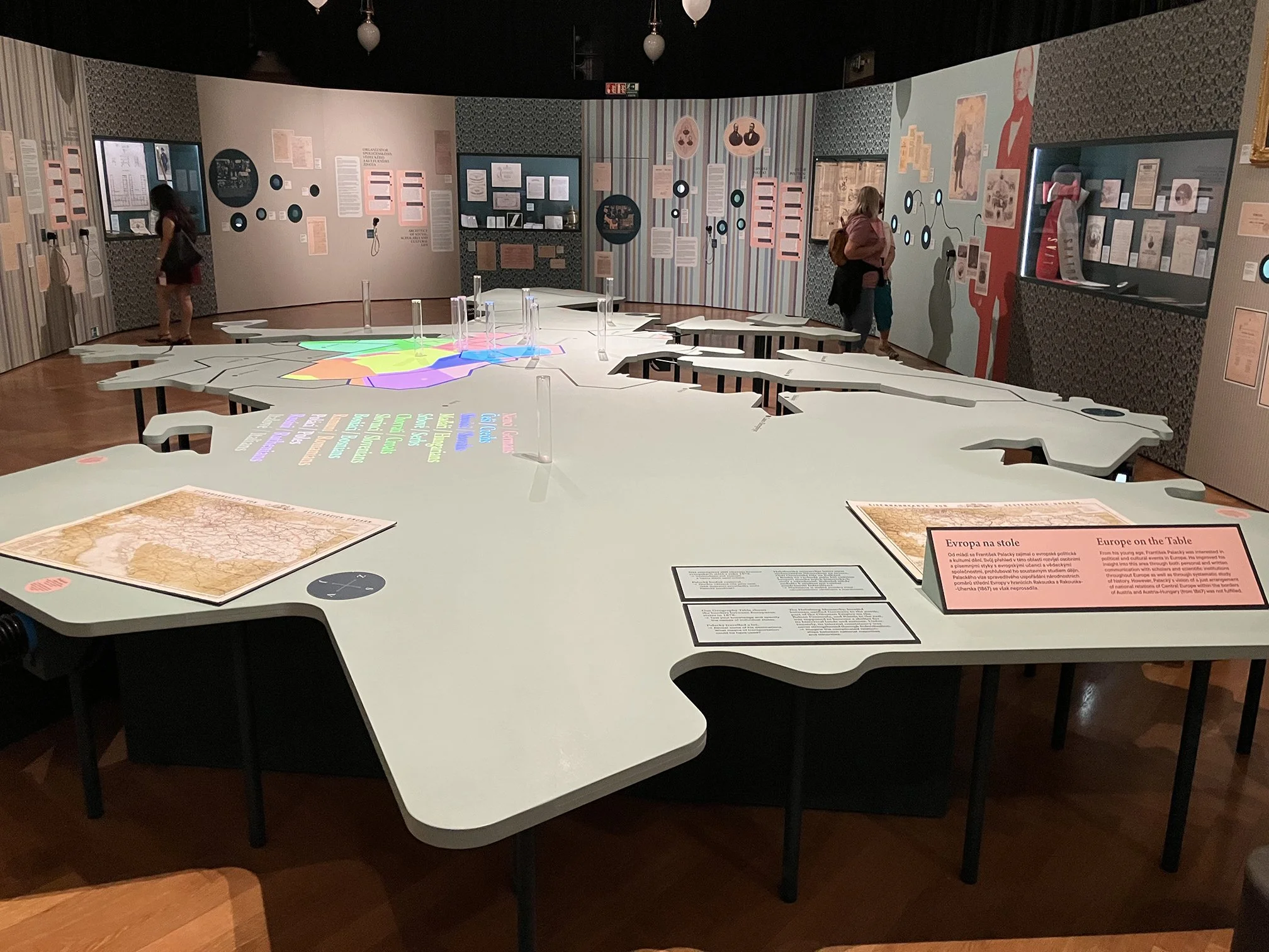
map table, looking westwards from the limits of European Russia, railroad maps in the foreground
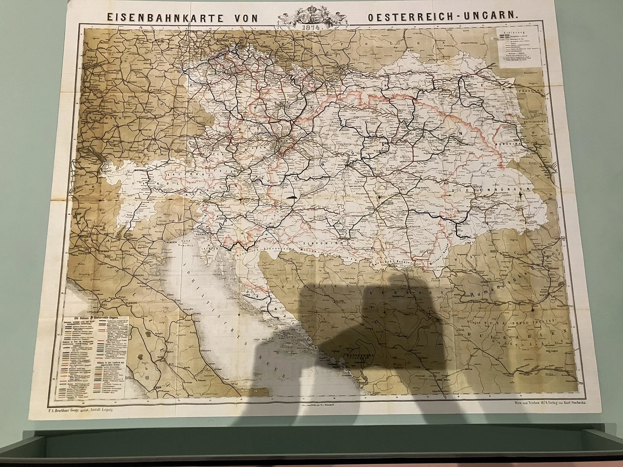
“Europe on the Table”: F. A. Brockhaus, Eisenbahnkarte von Oesterreich-Ungarn (Vienna: Karl Prochaska, 1874)
The map served to emphasize how easy it was for Palacký to travel across the empire, and beyond, as he advocated the political division of the empire along nationalist lines. To that end, the large map table bore a cyclical projection showing the different ethnic groups within the empire, each with its own color:
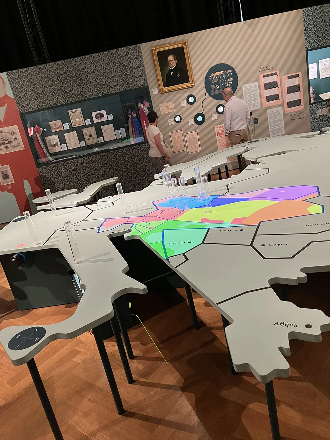
Mapa národností Rakousko-Uherska [Ethnic Map of the Austro-Hungarian Empire], showing all the nationalities projected
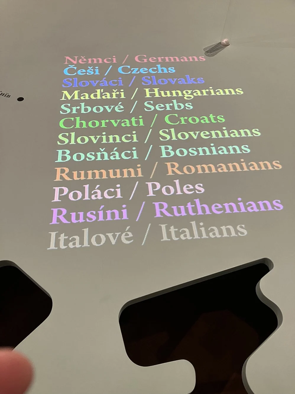
legend
As a panel on the table stated,
The Habsburg Monarchy, located between unified Germany to the north, part of the Ottoman Empire on the Balcan [sic] Peninsula, and Russia to the east, was supposed to become a shelter for its historical lands and nations. Unfortunately, its internal consistency was never strengthened through federalisation.
→ Imagine the complicated relationships between national majorities and minorities.
And to stress how Palacký had travelled widely, the map has pneumatic tubes at key locations. By pressing buttons around the edge of the table, the golf balls in the tubes would rise up to show the location:
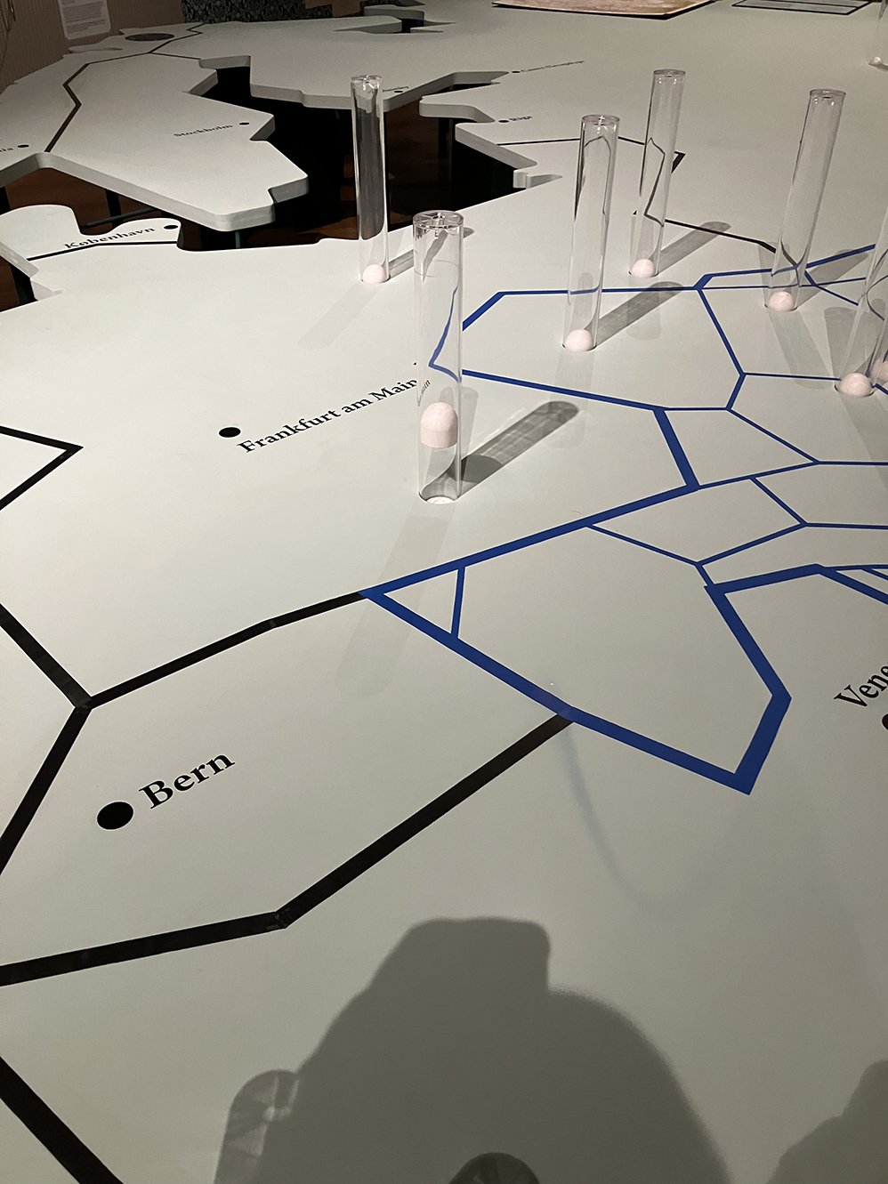
showing the activated pneumatic tube for Munich, where Palacký undertook much archival and library research
All in all, a nifty, multi-purpose map for public history within a nifty museum. We didn’t go through all of it (too big!) but the history galleries had a number of maps scattered about, and other images and objects that will interest mapheads (such as the woodblocks for early Czech-printed playing cards); of particular note was a room dedicated to the history of the teaching of science in Czechia, with several maps among the works on display.
There is also currently a small special exhibit on book binding, which included this amazing artist’s book of Arthur Conan Doyle’s The Hund of the Baskerville’s by Jan and Jarmila Sobota in 2006 (7 × 7 × 5 cm):
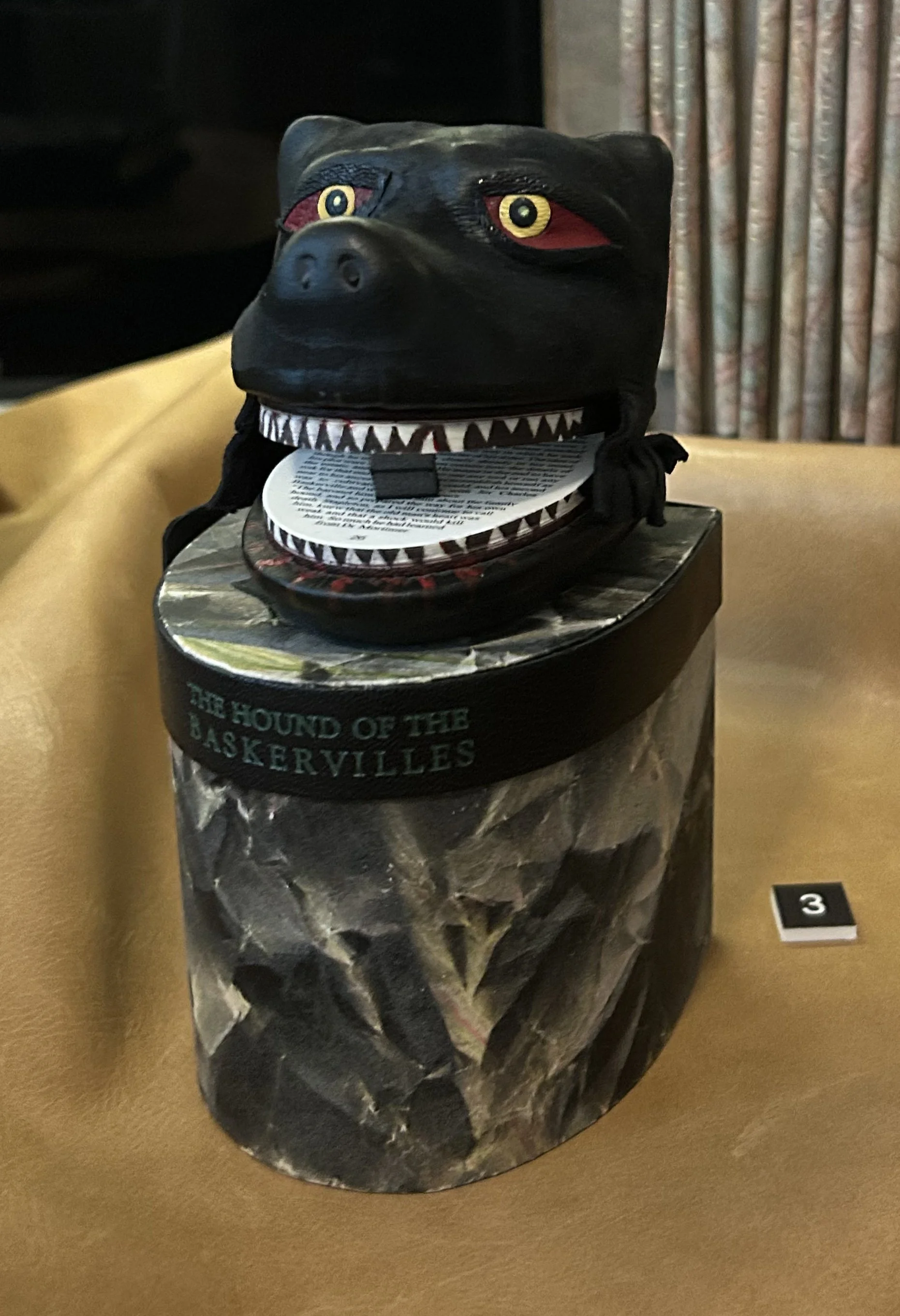
Highly recommended.